Update development boundary to follow new fence lines as approved under planning permissions 19/4329 & 19/4330
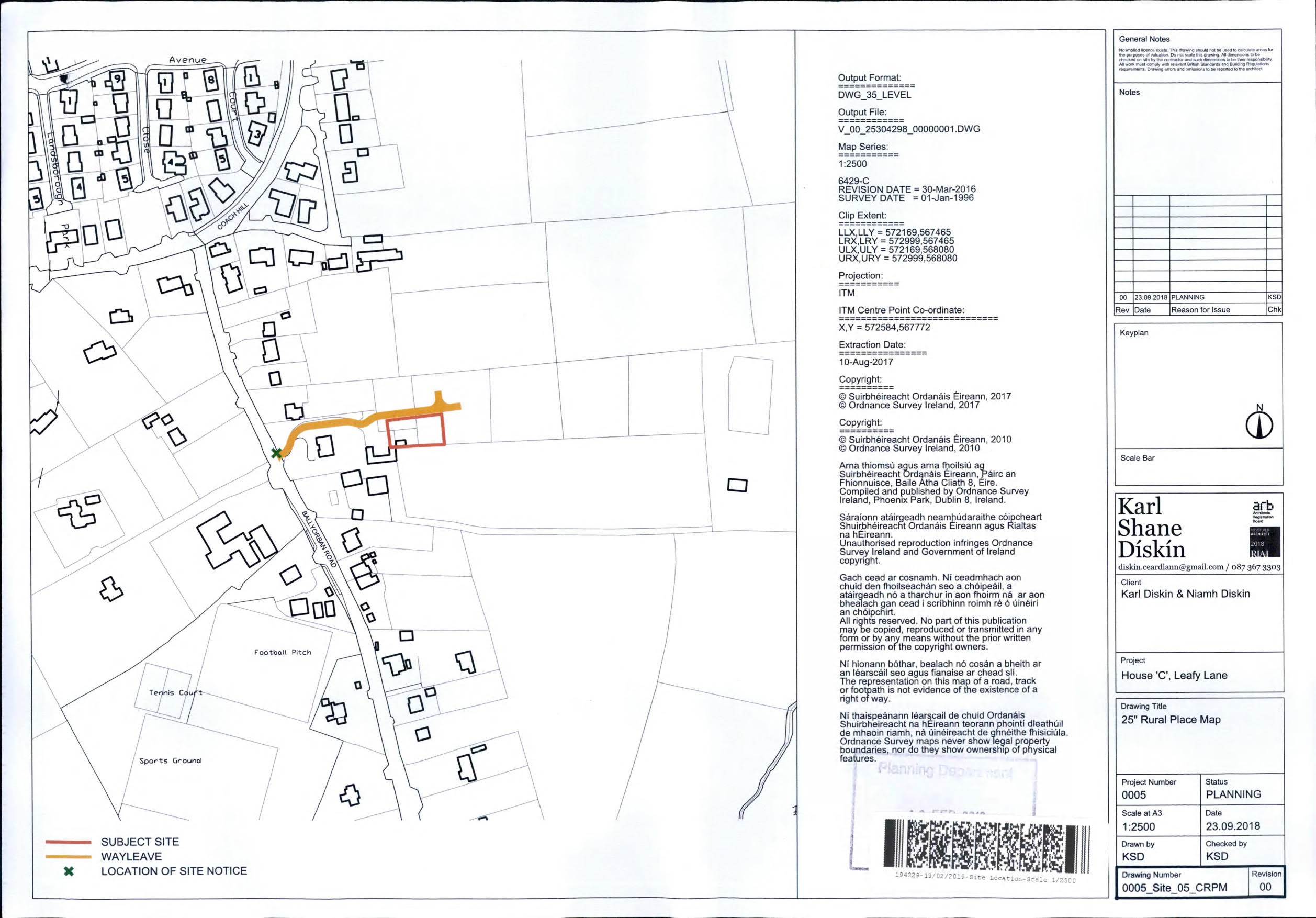
My name is Karl Diskin, I am a land owner in Moneygurney. In June 2019 I was granted full planning permission (ref. 19/4329) to build a residential house on my land. I have attached the site location plan for your information. I note that in the draft CCDP Vol 2, Map 14, the zoning map does not take account of my planning permission and indicates that more than half my residential development site is zoned for ZO 21 City Hinterland (green belt). This does not make any sense to me. The land is already granted planning permission for residential development by the City; why then would the City choose to zone it green belt two years later? My sister owns an adjacent plot of land (ref 19/4330) and faces the same issue.
I would appreciate it if the zoning map is updated to reflect the planning permissions we were granted in 2019, and that the full site areas as shown in the planning documents are indicated as ZO 01 'Sustainable Residential Neighbourhoods' instead. To do so would more accurately reflect the reality on the ground, and as this plan is to be in place until 2028, I consider it important to be done correctly.
Thank you for your time.