CNN recommends (15) that the CCDP process must rapidly develop and share with all interest a set of Strategic Environmental Objectives and Targets.
14. Environmental Assessments
Dúnta26 Mei, 2020, 00:00 - 21 Lún, 2020, 16:00
14.1. Introduction
Strategic Environmental Assessment (SEA) is a statutory process that involves the systematic evaluation of the likely significant environmental effects of implementing the forthcoming Cork City Development Plan, before a final decision has been made to adopt it. It is carried out in parallel to the City Development Plan making process. The assessment of the effects of certain plans and programmes on the environment is required by a European Parliament Directive commonly known as the SEA Directive. Appropriate Assessment (AA) is also a statutory process whereby the EU Habitats Directive requires an assessment on any plan or project that is likely to have a significant effect on the conservation status of a site that is located within or adjacent to a network of protected wildlife sites. These wildlife sites are designated as Special Areas of Conservation (SACs) and Special Protection Areas (SPA’s) – collectively known as Natura 2000 sites. The AA process, even though it is entirely separate to the SEA process, runs in parallel with the SEA process and the outcomes of the AA process will feed into and inform the SEA process.
There are a range of National Planning Framework policies also contained in the Regional Spatial and Economic Strategy that underpin the need and requirement for SEA and AA as part of the City Development Plan process and all must be incorporated into the new City Development Plan.
14.2 Trends
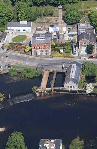
Climate change is a major issue and challenge that influences all walks of modern life. It is clear that the trend of ever-increasing severe weather events and extreme conditions will continue to influence how this city operates. This means that changes to how the city will operate will need to be built into the Environmental Assessment of the City Development Plan. As has been described earlier in the section on climate change, flooding and flood prevention are serious issues of concern and the likely trend is for storms and significant flood events to become more prevalent which has major implications, especially for the city centre. The Strategic Flood Risk Assessment of the City Development Plan will be key to informing how the city develops in terms of land use policy guidance.
14.3 Important natural habitats
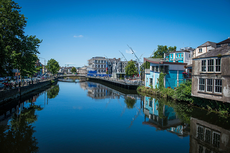
Cork Harbour, the River Lee as well as related water courses are vital natural water resources and ecospheres that if protected and enhanced can be used as major selling points and provide an attractive benefit to those living and working in the city. It is important that these natural habitats are protected and enhanced so that the city is seen as a place that balances the built and working environment with the protection of the natural environment. The specific Natural Sites which are relevant to the City are set out below:
Special Area of Conservation
Great Island Channel SAC (Sitecode: 001058)
Special Protection Areas:
Cork Harbour SPA (Sitecode: 004030)
Proposed Natural Heritage Areas:
- Douglas River Estuary (Sitecode: 001046)
- Glanmire Wood (Sitecode: 001054)
- Cork Lough (Sitecode: 001081)
- Lee Valley (Sitecode: 000094)
- Shournagh Valley (Sitecode: 000103)
- Ardamadane Wood (Sitecode: 001799)
- Blarney Bog (Sitecode: 001857)
- Blarney Castle Woods (Sitecode: 001039)
- Blarney Lake (Sitecode: 001798)
- Ballincollig Cave (Sitecode: 001249)
14.4. Challenges & Opportunities
The intake of large areas of land within the extended city boundary and how they will impact on the scale and nature of the City Development Plan will be a major consideration in terms of Strategic Environmental Assessment, Strategic Flood Risk Assessment and Appropriate Assessment. Ensuring that the City Development Plan allows for the development and growth of a modern city whilst balancing this with the preservation and enhancement of its natural habitats will be both a considerable challenge but also a great opportunity. The City Development Plan will need to set goals and objectives that will allow for a balanced approach in the protection and enhancement of these areas for the benefit of all in the City.
The River Lee forms a key part of one of the largest natural harbours in the world and is also host to a Tier 1 seaport. The medium to long term proposed change in use of the North and South Docklands and Tivoli Docks from port infrastructure to mixed use areas is part of an international trend that the City Development Plan will help to facilitate. The Environmental Assessment of the new City Development Plan will have to take into account the resilience of these areas in terms of strategic environmental, strategic flood risk and appropriate assessment with their proposed medium to long term change in land use.
14.5. Key Questions
- What strategic environmental issues should be taken into account in the consideration of the Strategic Environmental Assessment of the forthcoming Plan?
- An additional emphasis is to be placed on climate change and its impact on the city. How will this impact SEA, SFRA and AA?
- What are the implications for the increase in population and land area in terms of SEA and AA for the City Development Plan?
Clár ábhair
Tuairimí
Tuairimí
Develop and share with all interest a set of Strategic Environmental Objectives and Targets.